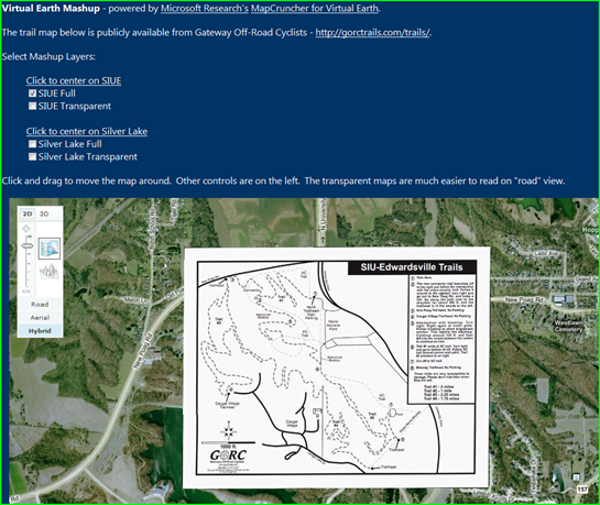
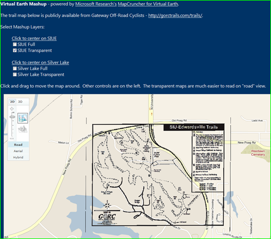
MapCruncher Mashup of SIUE Trail map
This was a great for-fun project. Microsoft Research has a tool available for download named MapCruncher that can take an image, PDF file, etc, and overlay it on Virtual Earth. I was talking to Travis about local groups that support Mountain Biking and he suggested I look in to Gateway Off-Road Cyclists*. Turns out, they have a great website and they have done a nice job keeping their trail maps up to date - not surprising since it looks like they are major supporters of the trails.
I have been looking for a good trail map to mashup with VE. This one works perfectly and overlays my favorite bike trail. I plotted several points of correspondence between their trail map and VE to get everything pretty well lined up. It would only take 5 or 6, I ended up taking it overboard and plotting more like 70.
Live - MapCruncher Mashup of SIUE Trail map
If you would be interested in doing one of these on your own or as part of a classroom exercise, it is really quite easy and requires no coding unless you want to customize the sample page it provides for publishing the maps. I recommend starting off by watching the tutorial video and then downloading the tool to start playing around. Try rendering your campus map, here's someone who has!
* I contacted GORC and ask their permission before using their work publicly! Thanks guys!
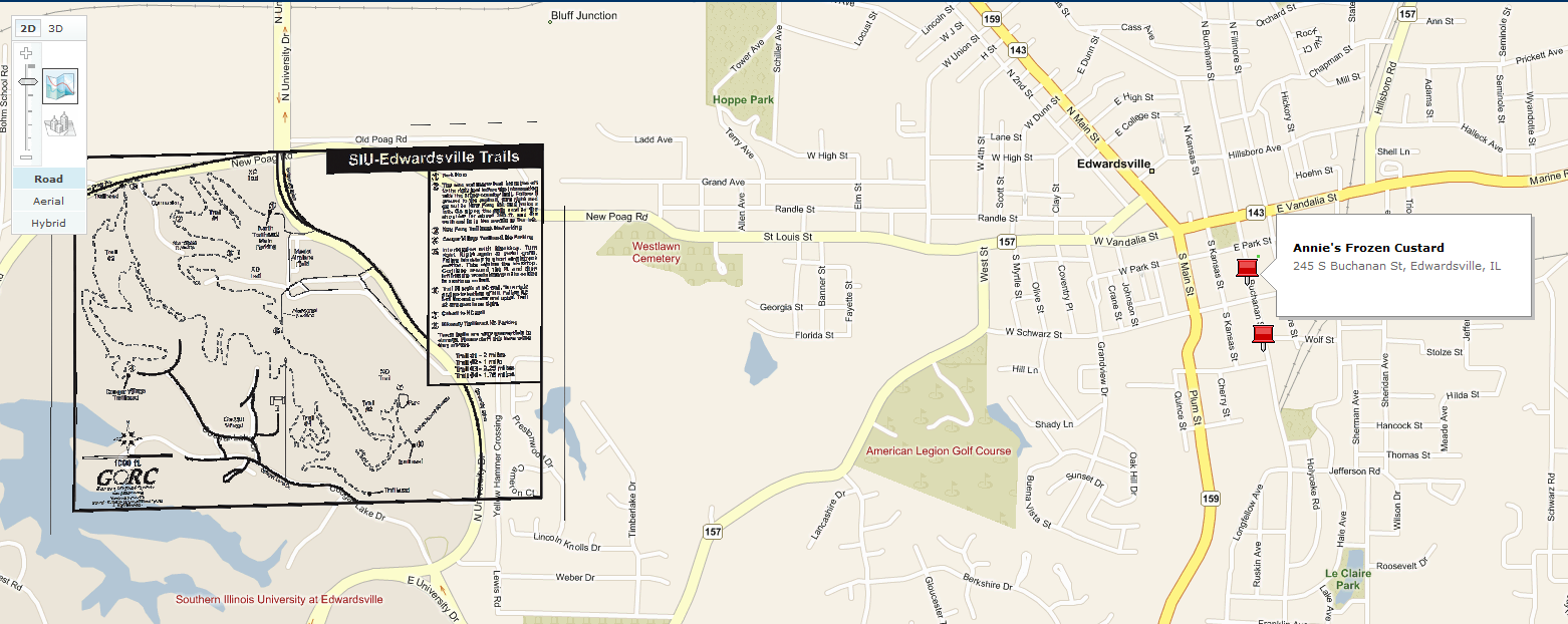
You may even find you need to cool off after a ride - good news, the map is searchable. Just type in what you're in the mood for and see what's nearby.
Technorati tags: Virtual Earth, Mashup, Mountain Biking