SQL Server 2008 Geo-Spatial functions and indexes
SQL Server 2008 enables the use of geo-spatial data or location intelligence in four ways:
- a new geography data type (there's another one for 2D geometry), which can store points, lines, line segments and polygons
- A rich set of functions to make use of them, e.g. whether they intersect, how far are they away etc.
- a special indexing mechanism to enable the function to perform quickly
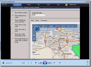
- Virtual earth integration so your users can see the results on a map without resorting to any extra software investment, while keeping their data in a secure database.
Below is a short blogcast to show how these come together following on from my last two blogcast's on this interesting aspect of SQL Server 2008...
Technorati Tags: SQL Server 2008,Geospatial